
Classroom Update #2 for 2015
Since I’m not anywhere close to writing these updates on a weekly basis, I’m not going to label them that way for this year. I’m instead going to concentrate on writing for you my dear readers, when I can, and let the posts fall where they may.
Maps for education
 I remember way back in the dim mist of time as I started edublogging, someone (probably Scott McLeod) asking if we even needed paper maps and globes in the classroom as technology seemed to be making them superfluous (it was early days with GoogleEarth).
While I’m happy not to have the traditional class maps that I grew up with which tend to be bland and rapidly dated, I use maps and my globe on a weekly basis in the classroom. Since we’re now studying the European “discovery” of America/Age of Exploration/Age of Exploitation (I’ll leave it to you to select your favorite lens), having a physical globe is really important to show the journey, etc.
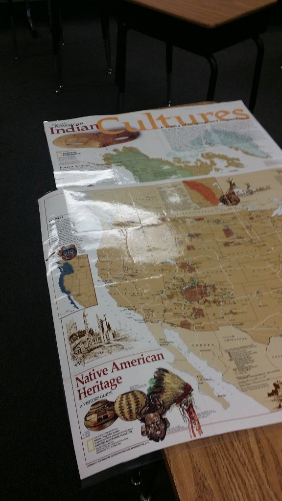
Next, I have built a pretty good collection of maps to go with my science and social studies curriculum. Unfortunately, that has been mostly 6th grade materials, so I’ve had to invest in some new ones this year. The ones for Pre-Columbian America though were already there. These two from National Geographic are mainstays for me. I especially like the North American Indian Cultures map, since it shows areas, not with neat political lines (which were meaningless until European surveyors arrived and imposed a grid pattern on the country).
This story from NPR’s CodeSwitch blog made the rounds on Facebook as school started. I would like to add that particular map to my collection, as Reflections on Teaching » Blog Archive » Classroom Update #2 for 2015: